07768 844770 / 0333 1100045 [email protected]
07768 844770 / 0333 1100045 [email protected]
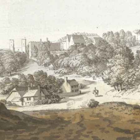
This innovative project looked at the heritage significance of historic routes, ranging from prehistoric trackways to parliamentary enclosure roads. The objectives were to assemble a gazetteer of significant routes and to prepare guidance for their protection within development and land use changes.
Potential routes were identified from:
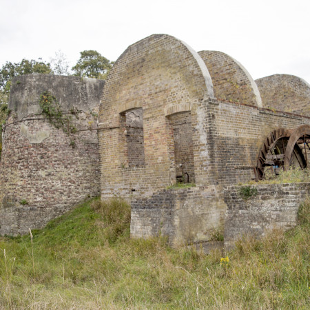
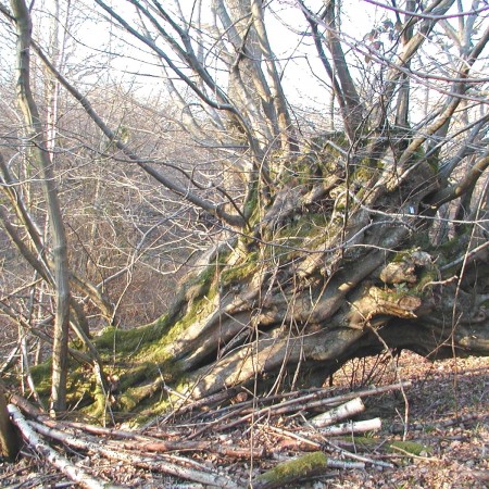
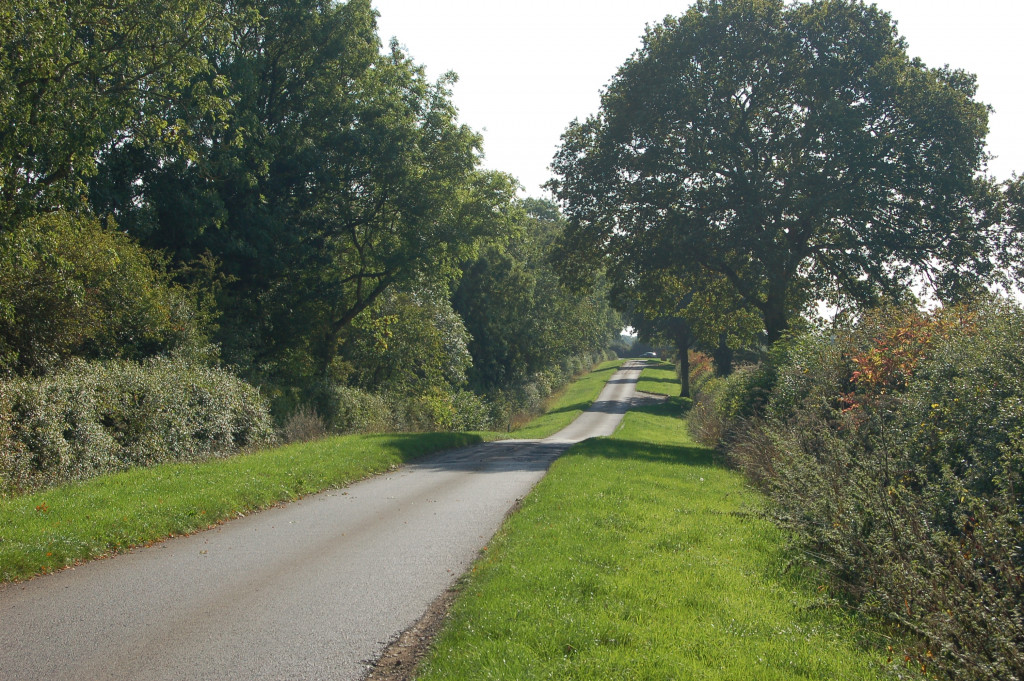
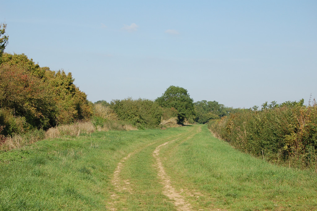
Fieldwork identified a wide range of surviving features, from the banks of Roman roads and holloways to centuries-old routes now marked only by a right of way across a cultivated field.
A method of assessing significance was developed based on the route’s place in the national-local road hierarchy, its landscape context and its function. This led to the publication of advice for developers and landowners on conserving and enhancing routes.
P. Masters and S. Stradling, ‘Protecting Historic Routes’, Context, 138 (April 2015), pp. 32−4.
Philip Masters and Sally Stradling, ‘Historic Routes in Cherwell District, North Oxfordshire.’ Oxoniensia LXXXI (2016), pp. 1-18.
1
2
3